Airborne/Satellite images
The dataset underlying the Biospec proposal will include various spaceborne (Landsat/Aster, MERIS, MODIS) and airborne (AHS) reflectance datasets at different spatial and spectral resolutions. A scaling-up analysis will be carried out: field-airborne-spaceborne high spatial resolution- spaceborne low spatial resolution. We will also jump two steps relating field data to spaceborne high spatial resolution to test the temporal consistency and airborne estimates will be also related to spaceborne low resolution data to ensure spatial consistency across sensors.
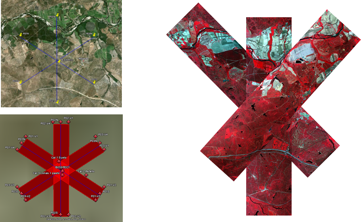
- In May 2010 the first airborne (AHS) image was acquired. One single image of the study area was obtained
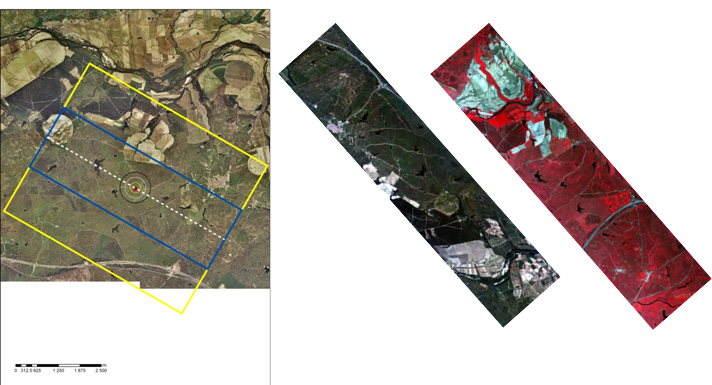
- In June 2011 the second airborne (AHS) image was acquired with a different setup.